Good GPS tools help you plan, travel, and come back safe. You can pick one device or mix a few, depending on where you go and what you like doing.
1. Phone With Offline Maps
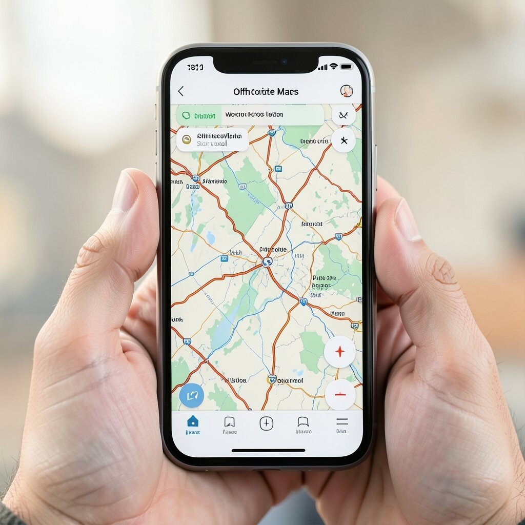
A phone can act like a simple GPS for many trips. You can see your spot on a map even when there is no cell signal. This is useful for hiking trails, farm roads, and city walks.
Pick an app that lets you save maps for offline use. Before you leave home, download the area you need and test it once while you still have signal. A big plus is the low cost since you already own the phone.
To make it more personal, add a home screen shortcut for your trail map and keep the brightness steady for easy reading. A good trend is using offline map layers that show trails, dirt roads, and land marks with less data use.
2. Handheld GPS for Trails
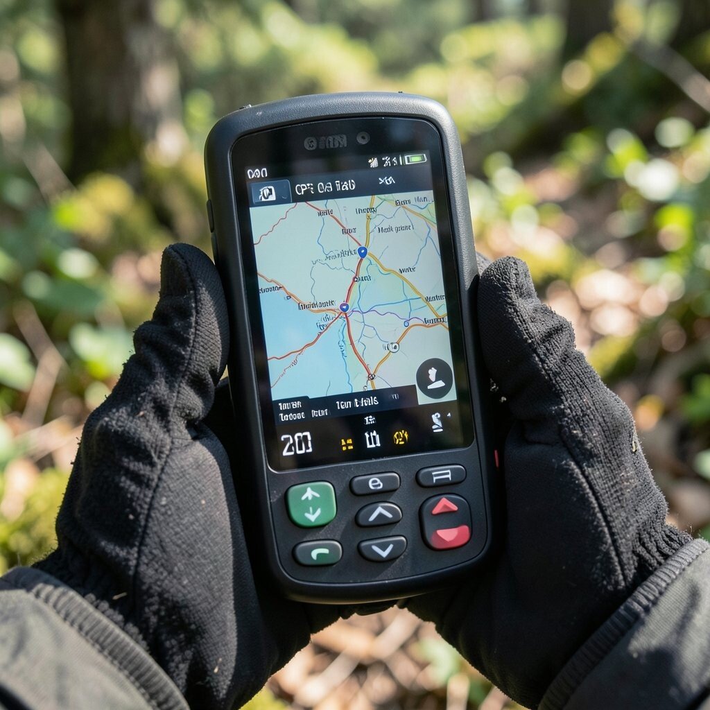
A handheld GPS is made for outdoor use. It usually has a bright screen and clear buttons, so you can use it with gloves. You also get steady location updates, which helps on long hikes.
Look for features like a good battery life and easy map or track options. Some units let you save routes and waypoints, so you can mark a spring, a lookout, or a camp spot. Cost can be mid range, but you may save money by not buying extra gear.
For tips, set it to your walking speed before you start. Add waypoints with names that make sense to you, like “water” or “turn back point.” Many people like these devices because they feel steady and simple in the field.
3. GPS Watch for Daily Training
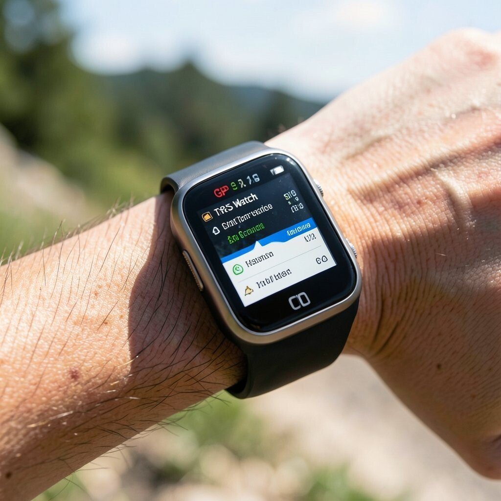
A GPS watch helps you track where you go during runs, rides, and walks. The screen is easy to check on your wrist, and it can log your route for later. It can also help with pace and time, which many people enjoy.
Choose a watch that has strong satellite signal and good battery. Some watches work well for trail routes too, not just roads. The cost depends on the brand, but you can often start with a mid tier option.
To personalize, set custom data pages for the info you care about most. A helpful tip is to keep the GPS mode set to the best balance of battery and accuracy. A trend is newer watches that focus on better signal tracking under trees and in hills.
4. Two-Way Satellite Messenger
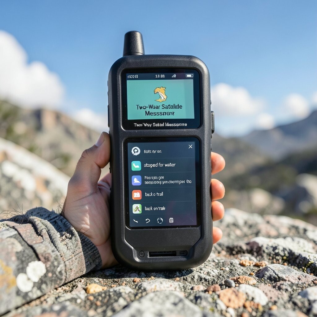
A two-way satellite messenger is for when phone service is not there. It can send messages and help you share your plan with others. This device is great for remote trips where safety is a top goal.
When you pick one, check the coverage for your area and learn how it sends messages. Many models also let you send your position so someone can see where you are. Cost can be higher, but it gives a different level of peace of mind.
For tips, set up your contact list before your trip and test message sending on a day with stable sky view. Personalize it by saving quick templates like “stopped for water” or “back on trail.” A trend is more simple apps that make messaging feel less hard.
5. Emergency Spot Device
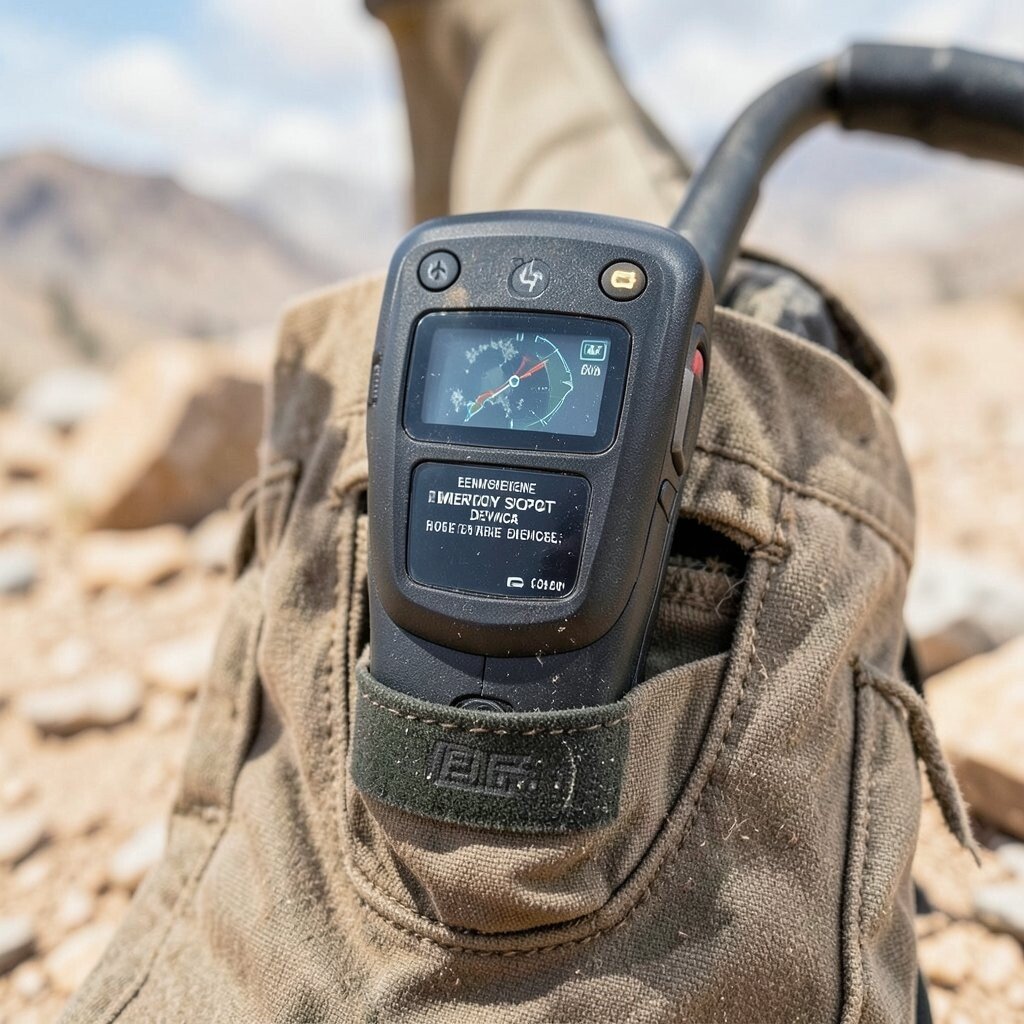
An emergency spot device can send a help signal if you need it. It is built for hard situations where you must be found. Many people carry one for backcountry travel, snow trips, or long desert walks.
Check if you want a basic version or one that also sends messages and location updates. Some devices let you share your track with a small group. The cost is often more, but it is meant for rare, serious events.
For tips, keep it charged and store it in a pocket you can reach fast. Personalize by setting your reporting schedule to match your usual pace. A trend is safer setup tools in apps that guide you step by step.
6. Bike Computer With GPS Routes

A bike computer can make riding feel more smooth and clear. It shows your speed, distance, and route, often with a map on the screen. If you like to ride new roads, this can help you stay on track.
Choose one with solid GPS lock and clear data fields you can read fast. Many devices link to your phone for route planning, which saves time. Cost can be mid to high, but it can replace a phone mount and messy cable setup.
To personalize, set data screens for climbs, turns, or time trials. A tip is to test the route on a short ride first so you know how turns show on screen. A trend is clearer turn prompts and more detailed route lines for road and dirt routes.
7. Car GPS With Live Traffic

A car GPS is handy for road trips and weekend drives. It can show turn by turn directions and help you find the faster route. You also get useful info like nearby gas stops and rest areas.
If you drive often, choose a unit or app that uses live traffic data. Some car GPS devices work well without a phone, while others link to it. Cost ranges from low to high, depending on size and map updates.
To personalize, set your “avoid” options for toll roads or busy highways. A tip is to check the route plan before you leave and save the start screen you like. A trend is better live rerouting when roads close or weather changes.
8. Marine GPS for Lakes and Small Boats
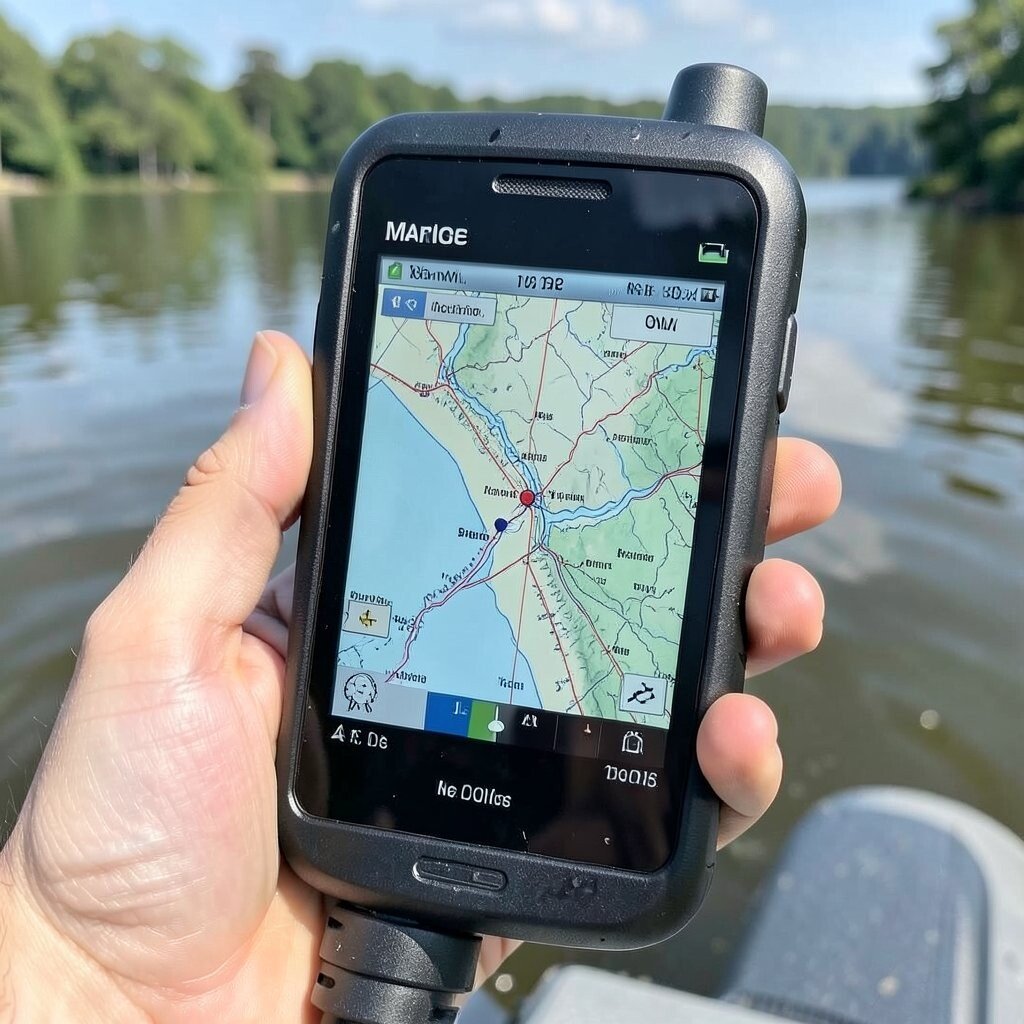
A marine GPS helps you move on water with more confidence. It can show your position on charts and help you find safe areas. If you fish or boat on a lake, it can reduce stress during fog or night trips.
Look for waterproof build and clear screen options you can read in sun. Some units work with radar and other marine tools, but you can start with a basic model. Cost can be higher than a phone, yet it is made for salt and water splash.
For tips, learn the chart symbols before your first real trip. Personalize by saving common spots like docks, coves, and boat ramps. A trend is more detailed lake charts and better track logs that are easy to review later.
9. Portable Power Bank With GPS Charging
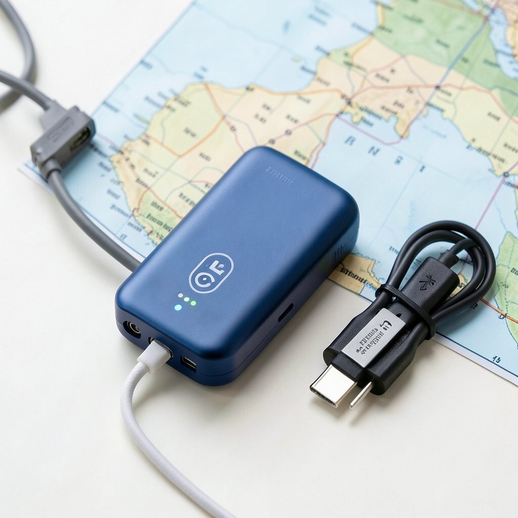
Power is a key part of GPS use, since many devices run on batteries. A strong power bank helps your phone, watch, or messenger keep going longer. This is not only about comfort, but also about staying on a map when you need it.
Pick one with enough power for your devices and the right cable types. Some power banks support fast charging, which can save time. Cost can be low to mid range, and it can still be worth it even if you carry multiple devices.
To personalize, bring a small cable kit and label the cables so you grab the right one fast. A tip is to charge everything the night before and do a quick battery check in the morning. A trend is power banks that are smaller but still handle high output for modern devices.
10. Trail Camera With GPS Tagging
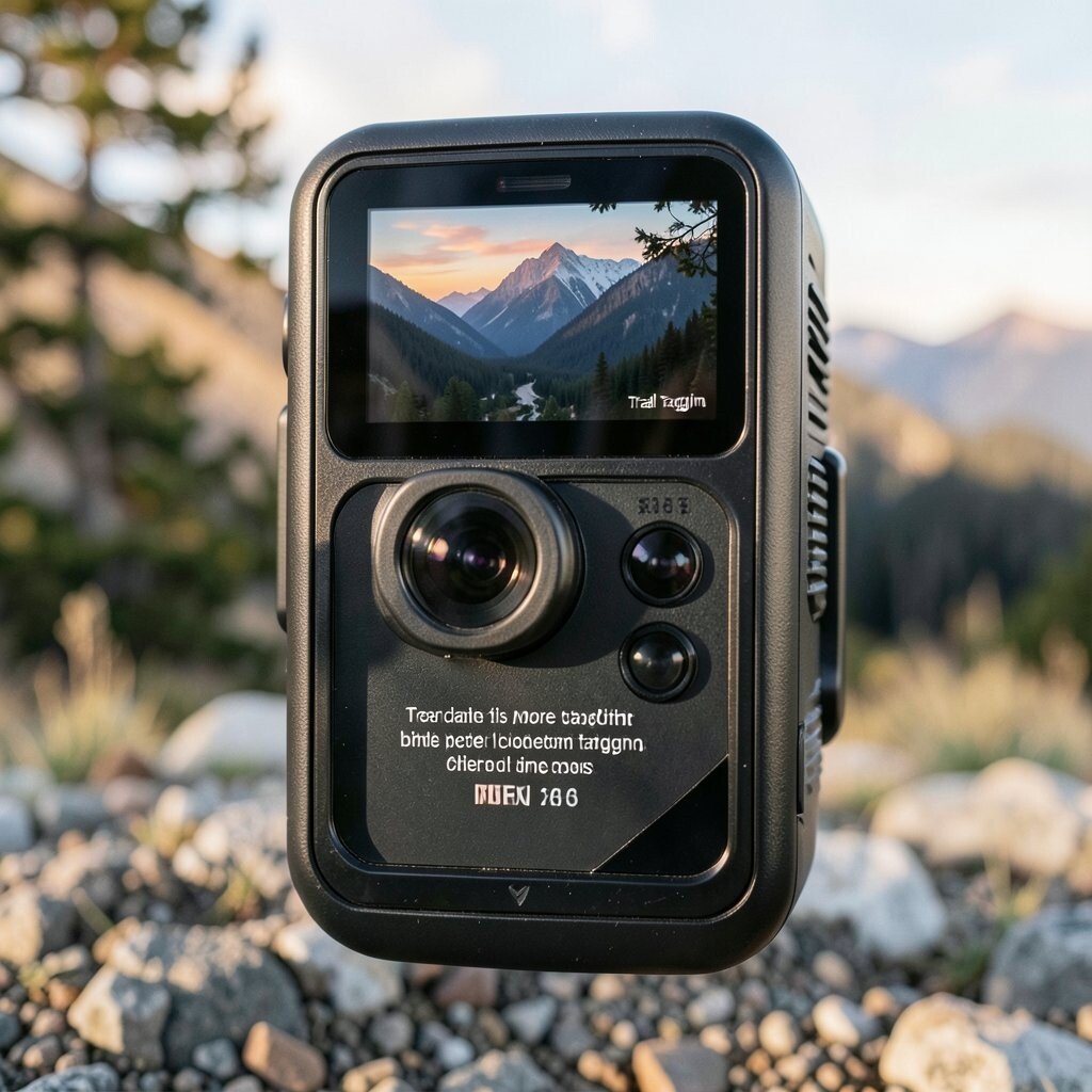
A trail camera with GPS tagging can help you track where you took photos. This is useful if you like wildlife shots or want to remember a certain creek or ridge. It also helps you sort images by place without doing all the work later.
Check if the camera logs GPS data inside the file or saves it in a separate card file. Many people like this because it can make review easier when you get home. Cost can vary, but you may find mid options that still work well for hobby use.
For tips, aim for stable mounting and set your date and time right before leaving. Personalize by making one photo style for dawn and another for midday. A trend is more cameras that support better location tagging and clearer time stamps.
11. Rugged Vehicle GPS Tracker for Families
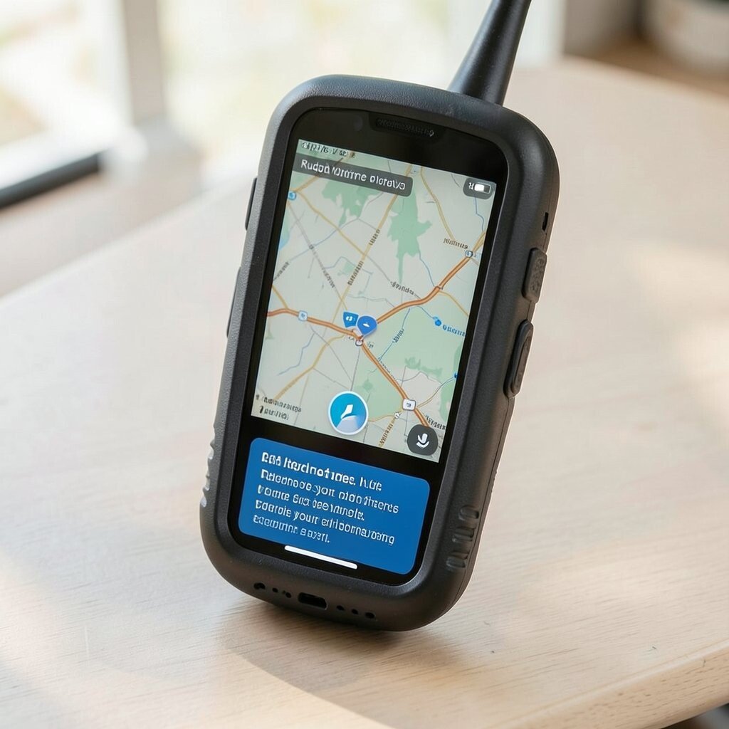
A rugged GPS tracker can help families stay aware of where vehicles are. It can send location updates and help you see travel routes on an app. This can be useful for work vans, camp trucks, and shared family trips.
When you choose one, check for network coverage and how often it updates. Some trackers need a monthly plan, which affects cost. Look for options that also let you set alerts for geofence zones like home or a campsite area.
To personalize, set alerts for “arrived” and “left” times based on your usual schedule. A tip is to test alerts on a short drive so you know what notifications you will get. A trend is more app features that make maps easier to read on a phone.
12. Mapping Tablet or E-Reader for Field Plans
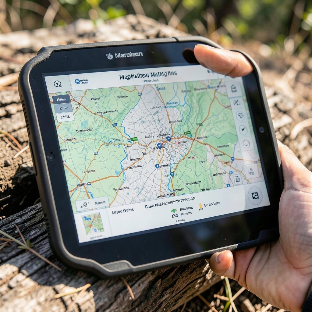
A mapping tablet or e-reader can help you view bigger maps than a phone. You can keep route notes and saved waypoints in one place. It is also nice for group trips since it can be shared while planning.
Pick a device with a long battery and a screen that is easy to read in outdoor light. Some people use rugged cases for better protection. Cost can be higher than a phone, but it can replace paper maps and extra notebooks.
For tips, store offline maps and keep a simple folder for each trip. Personalize it by adding a check list for gear and a small set of go to routes. A trend is more offline map use and better ways to share routes between devices without printing.